Forestry & Environmental Surveys
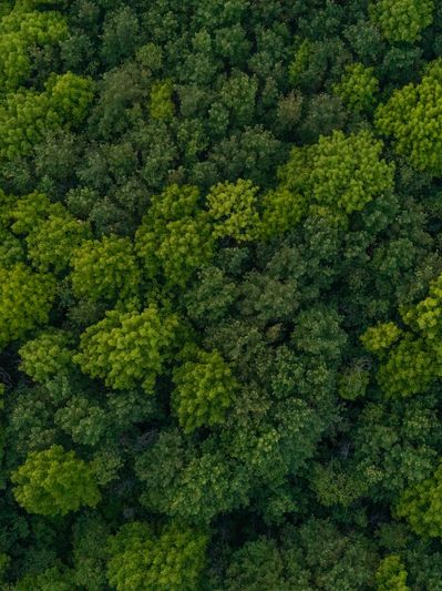
Drone data collection for woodland, trees and vegetation
We provide aerial survey data to support forestry managers, arborists and environmental professionals — from canopy mapping and tree surveys to vegetation assessment and site monitoring.
Practical drone data for forestry and environmental work
Drones offer an efficient way to collect spatial data across woodland, plantation and mixed vegetation sites. Dragonfly Surveys provides aerial data collection services that complement the work of forestry professionals, arborists and land managers — helping to build a clearer picture of site conditions without the time and cost of extensive ground surveys.
Our Services

Woodland & Canopy Mapping
High-resolution aerial imagery and mapping to support woodland inventories, canopy assessment, tree measurement and land management. Depending on the site and survey requirements, outputs can include mapped tree or canopy features, estimated heights and georeferenced imagery to support arboricultural surveys and planning work.
Environmental sector
Drone-derived imagery and spatial data to support ecologists and environmental consultants undertaking habitat assessments, Preliminary Ecological Appraisals and Biodiversity Net Gain projects. We can help map site features, document vegetation patterns and prepare georeferenced outputs to complement field surveys and ecological interpretation.
Land Management
Land Management
Map land parcels, vegetation, boundaries and other site features to support estate management, conservation work and the monitoring of relevant grant or tenancy conditions. Survey outputs provide spatial records and supporting evidence for reporting, management and verification activities.